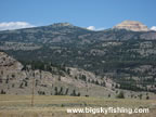
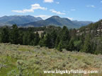
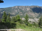
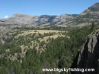
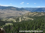
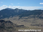
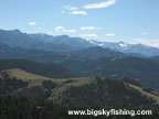
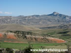
Photos of the Chief Joseph Scenic Byway
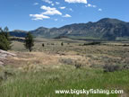
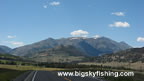
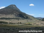
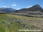
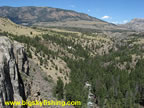
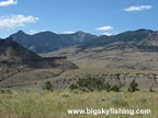
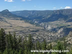
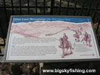
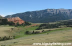
The forty-six mile long Chief Joseph Scenic Byway is a beautiful drive that passes through a wide variety of scenic terrain. Beginning north of Cody, Wyoming, at the junction of Highway 120 and Highway 296, the Chief Joseph Scenic Byway passes through beautiful valleys and climbs steeply up several mountain passes that provide superb views of Northwest Wyoming. The byway ends at the junction with the Beartooth Highway, east of Cooke City, Montana.
Information and Maps about the Chief Joseph Scenic Byway
Photo Use Policy : Please read the photo use policy if you would like to use any of these photos for online or offline use.
Related Articles & Information
|
Copyright 2002 - 2026 Big Sky Fishing.Com
|
|
|