
The Bighorn River begins at Boysen Reservoir in Wyoming. It enters Montana more than 150 miles downstream where it flows into Bighorn Lake, formed by the Yellowtail Dam. It is nationally recognized as one of the premiere trout streams in the United States. As such, it is a very popular destination spot for anglers on a Montana fly fishing trip.
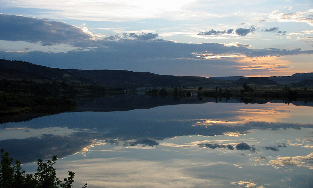
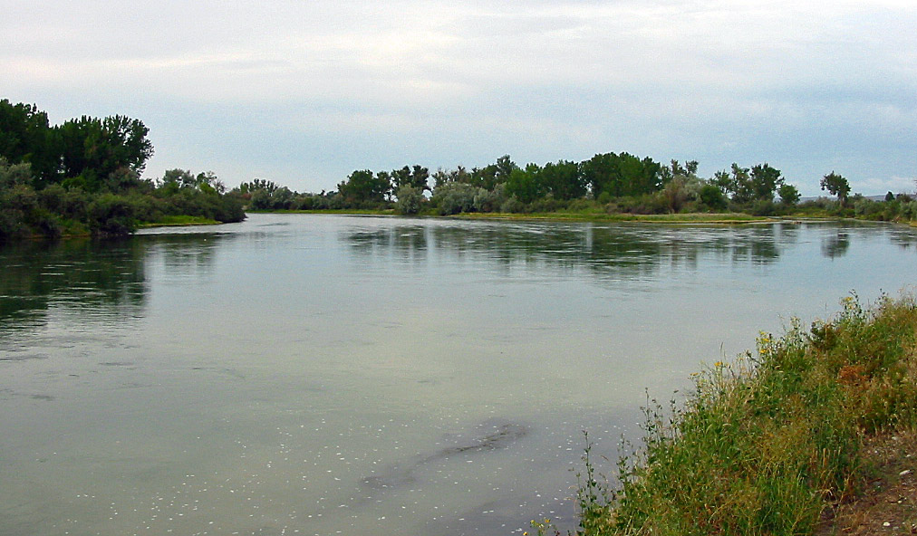
Below the dam, the Bighorn River flows through an open and isolated landscape. As the river sets on western edge of the high plains, few trees are found except along the riverbank. The Bighorn Rivers banks are a mix of grass, cottonwood trees, alfalfa and brush. Despite the lack of trees beyond the river, the area is scenic. The Pryor Mountains and the smaller Bighorn Mountains rise from the prairie to the south and west. Additionally, small rock cliffs with sparse forests are found along the middle section of the river, providing a nice backdrop for any float trip.
The Bighorn River travels through the Bighorn Canyon National Recreation Area for the first twenty miles below the dam, where it then enters the Crow Indian Reservation. Due to a court ruling in 1981, the Bighorn River is considered a public river. As a result, a special tribal fishing license is not needed to fish the river in the Crow Reservation.
After flowing through the reservation for twenty-eight miles, the Bighorn River continues flowing in a northward direction towards the confluence with the Yellowstone River near the town of Bighorn, MT.
Article Contents:
- Fishing the Bighorn River – Overview
- Fishing the Bighorn River – Afterbay Dam to Bighorn Access Site
- Fishing the Bighorn River – Bighorn Access Site to Yellowstone River
- Floating the Bighorn River
Related Article – Bighorn River Photographs
Fishing the Bighorn River | Overview
The Bighorn River is considered to be one of the finest trout streams not just in Montana but also in the lower forty-eight states. The river consistently pulls out large fish. Brown trout average about 15 inches, while rainbow trout average around 16 inches. The river has outstanding hatches. And unlike many rivers in Montana, the Bighorn is a high quality fly fishing river for the entire year, offering anglers who don’t mind the elements the opportunity to catch large fish in the middle of the winter.
Trout fishing on the Bighorn River is generally localized to the first 13 miles below the dam, to the Bighorn Access Site. In these upper thirteen miles, Afterbay Dam regulates river flows and irrigation has only a minimal impact on river flows. As a result, the Bighorn River almost always flows steady, clear and cool, creating ideal fishing conditions.
 Below Bighorn Access Site, the current begins to slow down somewhat and becomes quite slow as it nears the Yellowstone River. Irrigation also begins to pull water from the Bighorn. As a result, the temperature of the Bighorn River begins to warm up. Good trout fishing, particularly for brown trout, can be had between the Bighorn Access Site and the Two Leggins Access Site, although the numbers of trout per mile are less than found further upstream. Below Two Leggins down to the Yellowstone River confluence, large brown trout are still found although their numbers are quite low. Generally, except during the fall and spring, the lower half of the Bighorn River is a warm water fishery for catfish, whitefish and bass.
Not surprisingly, the upper thirteen miles of the Bighorn River receives heavy fly fishing pressure. The period between July and September sees the heaviest use. On a busy summer day, it is not uncommon to see dozens of rafts floating the river with many more anglers fishing from shore.
Once the busy season of summer passes, fly fishing pressure does reduce. However, even during the dead of winter, the river still sees fairly consistent use as anglers come to take advantage of the quality fishing the Bighorn River provides during the winter.
Any angler visiting the Bighorn River in winter (November – March) should come prepared. Being located on the western edge of the high plains can provide for wild shifts in weather. Some days will be in the sixties, while others will have sub-zero temperatures with blizzard conditions. So the motto for winter fly fishing in the Bighorn River is to come prepared for truly anything.
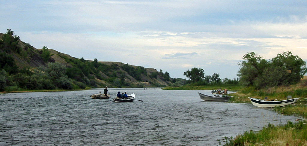
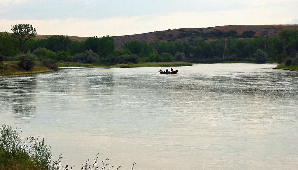
In general, the Bighorn River fishes well for both wade anglers and floaters, although wade anglers may have problems during higher water. Additionally, floaters have the big advantage of being able to easily go from prime location to another, as well as being easily able to cover the whole width of the river.
There are no significant rapids of any kind on the Bighorn. As such, anglers can use pretty much any boat for fishing—from inflatable kayaks to inflatable fishing rafts and even canoes. In short, pretty much anything works for boat fishing on the Bighorn River.
Fishing the Bighorn River : Afterbay Dam to Bighorn Access Site
As mentioned, the best fishing is found on this stretch, or the upper thirteen miles of the river below the dam. Estimates put the fish populations on this stretch between 3000-5000 fish per mile, with a significant proportion of the fish well over fourteen inches. The rich fertility of the Bighorn River on this section allows trout to grow very quickly.
During the winter, midges are the flies of choice. They are best fished in a dead drift in slower water, not out in fast current. Fishing the midges in deep water is also important. The depth of the drift should either be right along the bottom or near the surface of the river. Suggested patterns are the standard Adams, Serendipity and Griffiths Gnat, sized 18-24, used on long, light leaders. For anglers who like using them, San Juan Worms, which imitate the red worms found in the river, are also an excellent choice. It is also worth remembering that fishing midges and San Juan Worms on the Bighorn River generally work well all year. So don’t be bashful about using midges and worms during the summer if the standard patterns and techniques aren’t working.
 Beginning in April and usually lasting until early June, a blue-winged olive hatch occurs. These hatches usually occur during mid-day, with the heaviest part occurring in mid-afternoon when the temperature is at its warmest. Both dry flies and nymphs are successfully used during this hatch. For the dry fly angler, the Parachute Adams, in smaller sizes, works very well. Popular nymph flies include the Pheasant Tail Nymph and Hare’s Ear Nymph, in sizes 16-20.
July on the river sees the little yellow stonefly hatch. Fishing the yellow stonefly hatch can provide the angler with solid fishing. Additionally, fishing is somewhat easier during early July than later in the month as the hordes of anglers have yet to arrive. Best of all, fishing the yellow stonefly hatch requires less precision on the parts of anglers. A popular approach to fishing during this hatch is to use an Elk Hair Caddis or Stimulator in sizes 16-18, throwing them out into the heavier current and riffles.
Late summer on the Bighorn River sees its most prolific and most heavily fished hatches. Starting later in July and lasting through the middle of August, excellent pale morning dun hatches occur. The PMD hatch generally occurs during the middle of the day. Standard dry fly patterns, such as the Sparkle Dun and PMD Cripple, sizes 14-18, work well. When dry fly fishing, it is vitally important to have a drag free drift. The trout in the Bighorn River have lots of artificial flies thrown at them over the course of the year, and will not be impressed by a dry fly that leaves a little wake behind it.
When fly fishing nymphs during the PMD hatch, the best technique is to dead drift the nymph in faster water, particularly in the riffles. A light colored Hare’s Ear nymph, sized 16-20, is a popular nymph pattern used during the PMD hatch.
 Perhaps the best fly fishing on the Bighorn River occurs during August, although there are some slow days. During August, the PMD hatch is just beginning to end, while the caddis hatch is just beginning. The caddis hatch usually begins in mid-August and can last well into September. The heaviest hatch generally occurs in the evening. Popular flies used during the caddis hatch include the standby Elk Hair Caddis, the Tan Caddis as well as the X-Caddis, in sizes 14-18.
Fall on the river sees a solid trico hatch. The tricos come off the water in the evenings and return in the early morning, where they lay their eggs. These hatches are easily located by looking for swarms of these tiny flies hovering above the river. Despite the tiny sizes of these flies, large trout, especially large rainbows, come up to feed on them, providing a real challenge for an angler who manages to find one considering the light tackle that must be used. Popular patterns to use during the Trico hatch are a parachute Trico and a parachute Adams, in small sizes of 20-24, with very light tippets (6x or 7x are standard).
Bighorn Access Site to Yellowstone River
Below Bighorn Access Site, trout populations start to thin out. Decent numbers of trout, particularly brown trout, still are found in good numbers to the Two Leggins Access Site. Below Two Leggins, brown trout will still be found, although their numbers are quite low.
 Below St. Xavier Access Site, the Bighorn River enters the Crow Indian Reservation, where it flows for another fifteen-miles. Shore access along this stretch is non-existent, so plan on using a fishing boat or inflatable boat if you want to fish this section.
The river also can also become low during the summer due to irrigation. Some of the feeder creeks also can become turbid with only small amounts of rain, clouding up the Bighorn River on occasion during the summer.
Despite this, the section of river between Bighorn Access and Two Leggins Access can provide excellent fishing. Fishing pressure is significantly less than further upstream. And while the fish populations will be less, the trout in this section are just as large as further upstream and are a lot less picky and spooky since they don’t have hundreds of fishing rafts floating over them every day.
Fishing technique and patterns used between Bighorn Access and Two Leggins are not much different than used further upstream. However, streamers should also be used on this section. Brown trout become a much higher percentage of the fish in the river the farther the Bighorn travels through the Crow Indian Reservation. As a result, fishing large streamer patterns down deep in the holes and right along the banks is an excellent way to take the larger brown trout.
Downstream from the Two Leggins Access site, the Bighorn River turns into primarily a warm water fishery, mainly pike, bass and some whitefish, although some large brown trout can still occasionally be found. The river can flow quite slowly through this section as it winds its way through the plains of Southeast Montana to its end at the confluence with the Yellowstone River.
Floating the Bighorn River
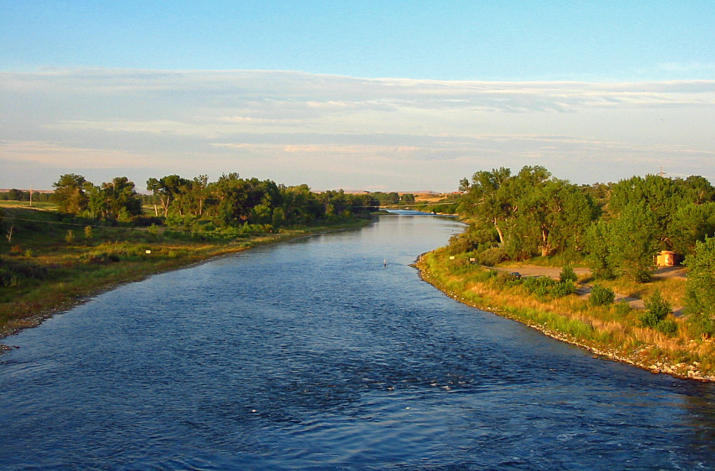
The Bighorn River provides an easy float. Flowing through the open prairie of Montana, it provides a pleasant and scenic float that provides a landscape much different than many other rivers in Montana.
The upper stretch of the river has a moderately fast current, depending on river flows. A floater will encounter no rapids on the Bighorn River, although several diversion dams exist.
Once the Bighorn River enters the reservation, currents slow down and the river turns into primarily a warm water fishery. A diversion dam will also be encountered just upstream from Two Leggins Fishing Access Site as well as further downstream.
The Bighorn River emerges from the reservation near the town of Hardin. From here down to its confluence with the Yellowstone River, the Bighorn flows very slowly. As it flows through the high plains country of Montana, high wind can pose problems for rafters. A canoe or inflatable kayak is highly recommended to negotiate the slow moving, frequently windy water. Two more diversion dams are also found on the lower stretch of this section.
Selected River Miles
Listed below are selected river miles for the Bighorn River in Montana. You can get more detailed information about some of these fishing access spots at the Montana FWP Website.
- Afterbay Dam: 87
- Afterbay Access Site: 84
- Three Mile Access Site: 81
- Bighorn FAS: 71.7
- St. Xavier Bridge Access Site: 68
- Mallards Landing FAS: 62.9
- Two Leggins FAS: 52
- Arapooish FAS: 40.7
- Grant Marsh FAS: 31.7
- General Custer FAS: 24.2
- Manual Lisa FAS: 1.8
- Confluence with Yellowstone River: 0
Further Reading
- Fly-Fishers Guide to Montana – This book provides information about fly fishing the primary and some secondary rivers in Montana. Updated in 2018. Available at Amazon.
- Fly Fishing the Bighorn River : Hatches, Fly Patterns & Guides – The only Montana fishing book dedicated to the Bighorn River. Available at Amazon.
- See More Montana Fishing Books or Fly Fishing Technique Books