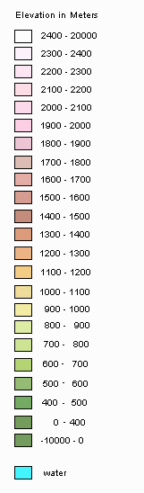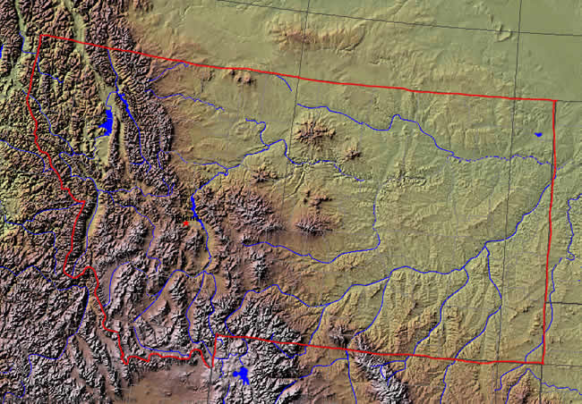
This is a shaded relief Map of Montana. As the borders were tough to see in the original map, I took the liberty of highlighting Montana's borders in red. A shaded relief map is designed to show how the elevation changes as well as provide the elevation of the land in relative terms. Note that all elevations are listed, unfortunately, in meters - not feet. It would be nice if the US Government would use standard feet for measurements of elevation like the rest of the US does instead of pretending that the metric system is used by the rest of the country. Anyways, as this map shows, eastern Montana is quite flat - with not much in the way of up and down in relative terms. By contrast, western and parts of south central Montana have significant elevation changes. Yet, don't let this map fool you into thinking eastern Montana is flat. It isn't - it is just flat when compared to the rest of the state. Eastern montana has lots of what I call gradual elevation changes which can be significant when you get to the top of these hills, mesas and small mountains. However, because these changes occur over many miles (and sometimes you don't even notice it), it isn't really fully evident on this map. In comparison to Nebraska, Iowa, Illionois and other traditional "flat states", most areas of eastern Montana would not be considered flat. Instead, a better word to describe eastern Montana, instead of flat, would be "broad." This is not to say, though, that eastern Montana doesn't have some flat spots. It does - some of which are pretty darn sizable. But, contrary to popular belief, the entire eastern and central half of Montana is "not as flat as a pancake." |