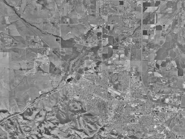
This aerial photo is a more distant shot of Helena from space. It shows both the downtown area of Helena (as seen in the other Helena Aerial Photo), as well as the surrounding country side. The mountains that lie just to the southwest of Helena are clearly visible in this aerial photograph. Interstate 15 can also be easily seen, coming in from the bottom right corner and traveling straight up towards the top |