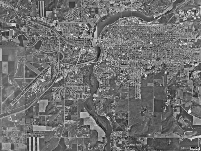
This aerial photo is of Great Falls, Montana. Great Falls lies about 50 miles east of the Rocky Mountain Front, in northcentral Montana. The river seen running through the downtown area is the Missouri River. There are many dams on the Missouri River in the area around Great Falls - which led to the nickname for Great Falls - the Electric City. In this aerial photograph, you can also see Interstate 15 and the airport on the left half of the photo. |